DATE 09.09.2025 | DISTANCE approx 19.4KM approx | HIGHEST POINT 633M
Posted by Matt | Filed under lake district
A pretty long hike today, but 5 new Wainwright fells to tick off. We saved this hike for today as it was due to be the best weather on this trip. A mixture of sunshine and light cloud, mild wind and zero rain. That's a pretty perfect forecast. I really enjoyed the start of this walk and the gradual traverse along the side of Burnbank Fell. I must say though, it's summit was one of the most under whelming I have visited. Moving on though, we hopped a lot of bog to make our way up to Blake Fell and quickly across to Gavel Fell, followed by a drop in elevation with more bog hopping and then a very steep ascent of Great Borne. Following the fence up Great Borne meant we always had a hand hold for those steep slippery sections. We we reached it's to, we had lunch in the storm shelter before making our way to our last summit of the way, Stirling Dodd. The original plan was to backtrack to Great Borne and then descent from there, but we changed things up and instead made our way down by Blea Crag, past Scale Force and along the edge of Crummock Water. Lastly, a rewarding pint (or 2) at the Kirkstile Inn.
Looking forward and wondering why this mound ahead of us didn't get the full wainwright treatment. It's more prominent than others around. unless its considered part of blake fell?? anyway, on the os map , the front of it at least is called carling knott.
moving on.
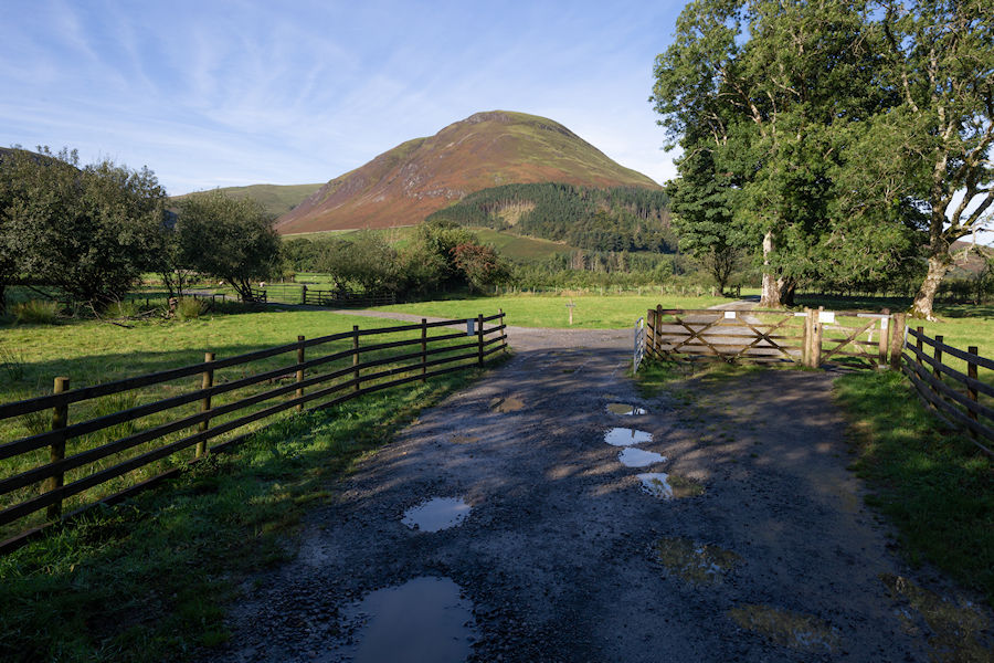
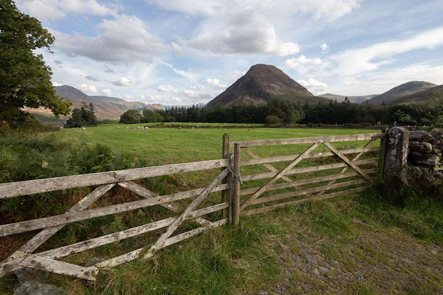
approaching watergate farm at the foot of loweswater.
looking across to darling fell and low fell. i guess you could say the same about darling fell not being a wainwright either.
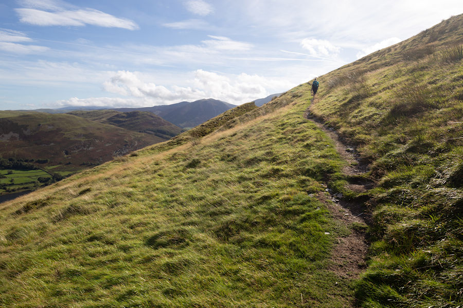
nice to start the climb in a cooler climate.
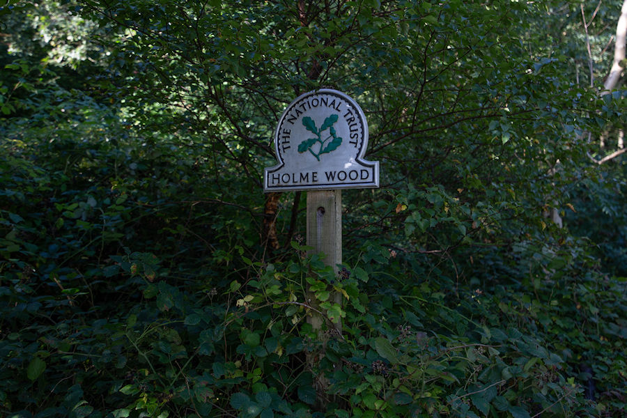
continuing through holme wood.
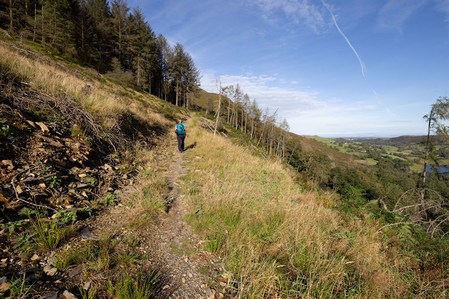
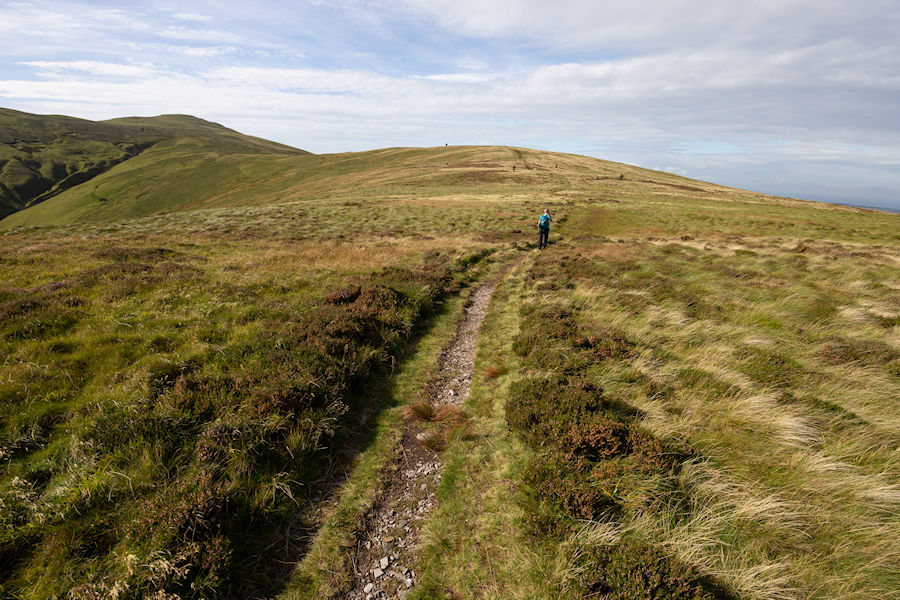
following the track around burnbank fell. easy going with great views across loweswater.
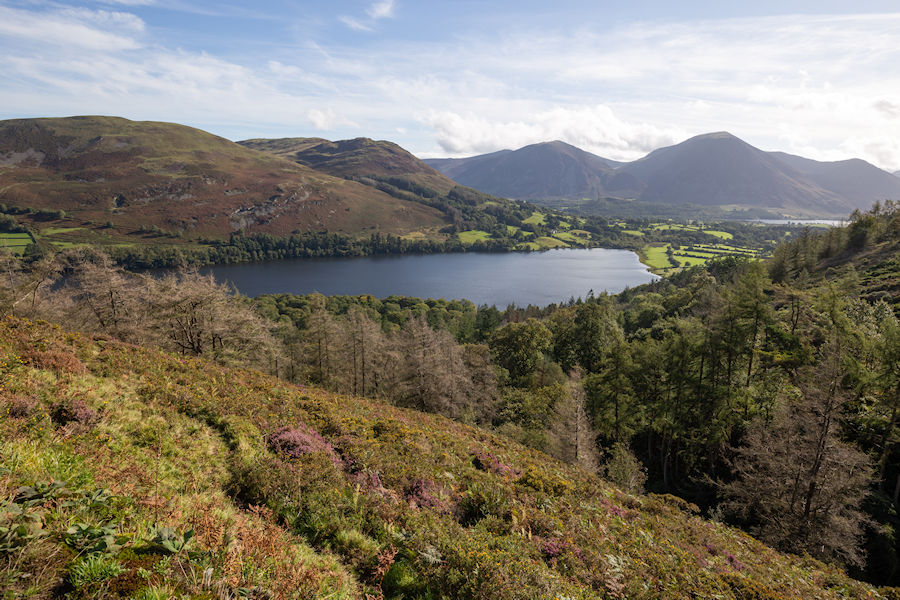
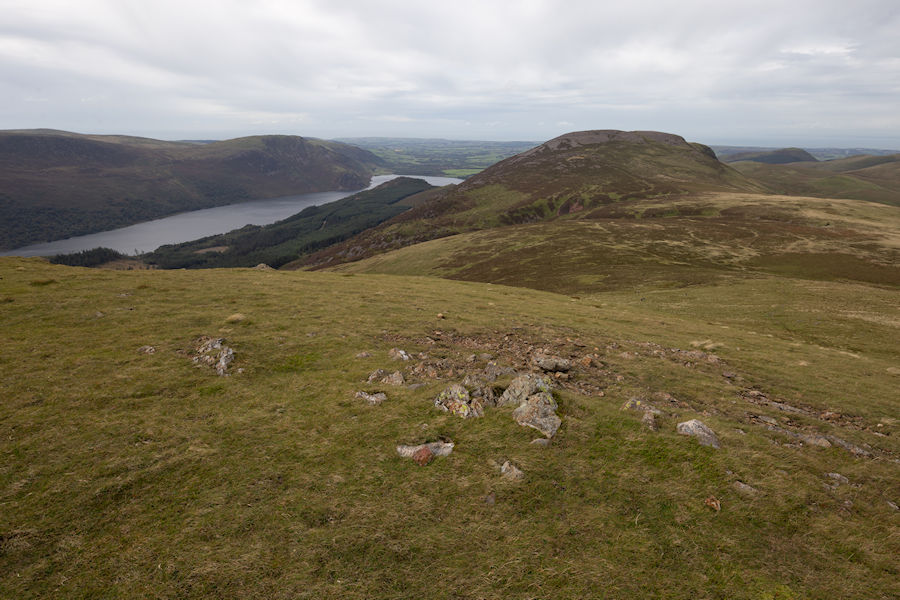
loweswater with whiteside and grassmoor in the distance.
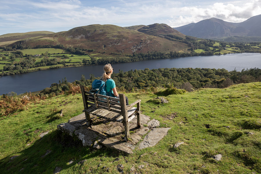
great place for a bench. I'd like to see more in the lakes. italy does this right, they add tables too.
heading up burnbank fell.
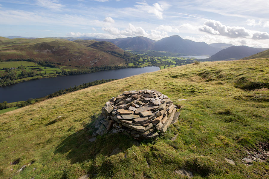
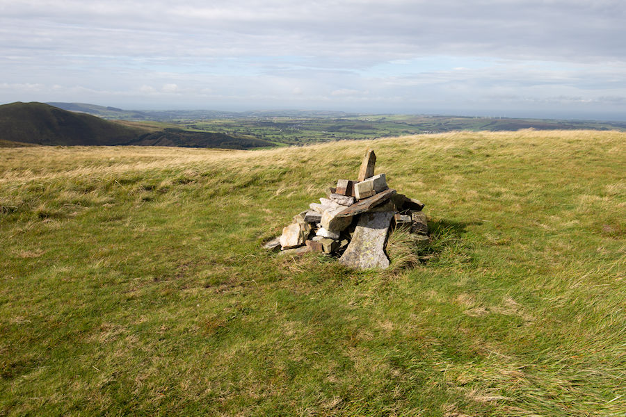
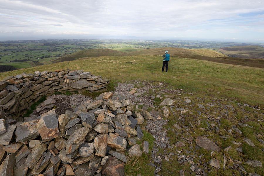
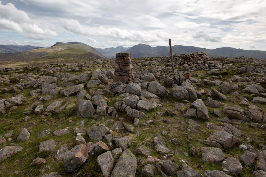
the pile of rocks is much better than what you will see at the summit or burnbank fell.
continuing on burnbank fell.
burnbank fell. photo taken from the barbed wired fence. i'm just about reaching the 200 mark on wainwrights summited and this is the only one that's struck me as a bit insignificant.
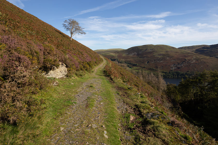
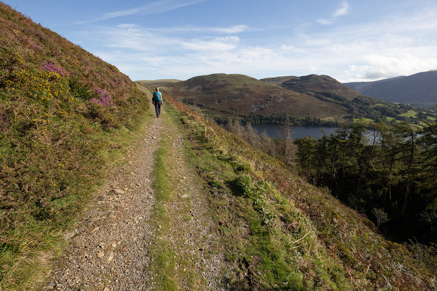
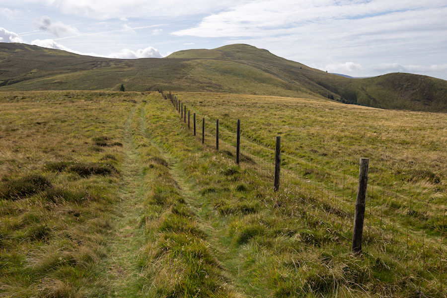
following the fence to blake fell. some considerable bog to be dodged along the way.
storm shelter on blake fell. looking over to knock murton. a small peak with a reservoir at it's base. Looks worth a visit one day.
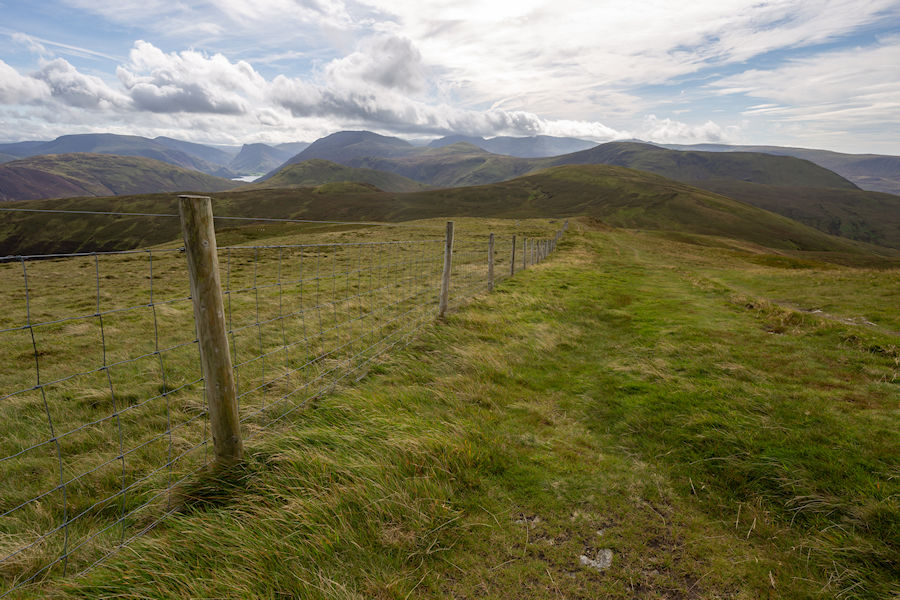
more fence to follow as we make our way towards gavel fell.
gavel fell.
after gavel fell, we had a decent sized from on elevation and then a steep climb up the northwest side of great borne.
great borne
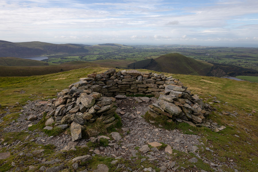
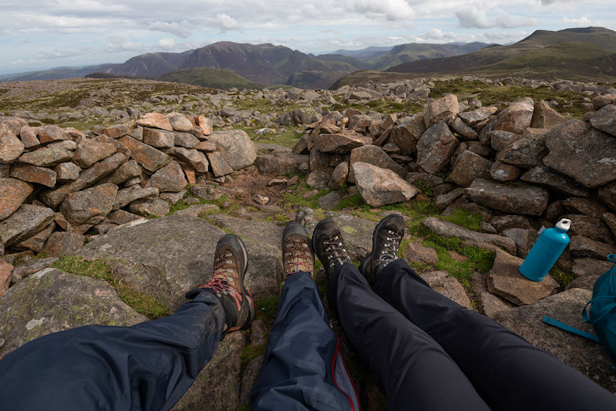
lunch in the storm shelter.
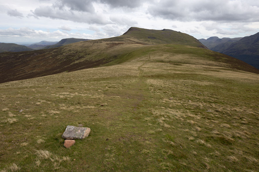
moving on to our last summit of the day. leaving the top of great borne and heading for starling dodd.
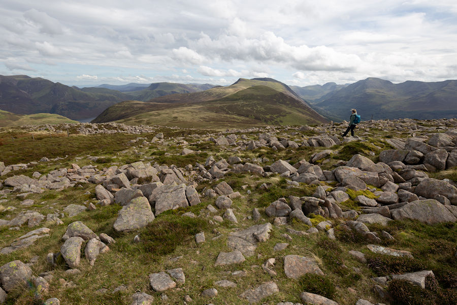
working our way to starling dodd with an open view of the ennerdale valley.
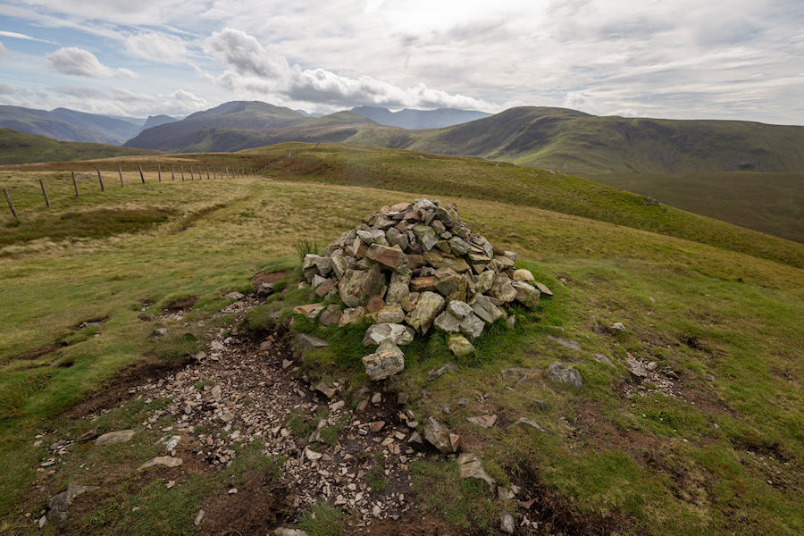
starling dodd (633m) . a stone cairn and a metal mangle. art?
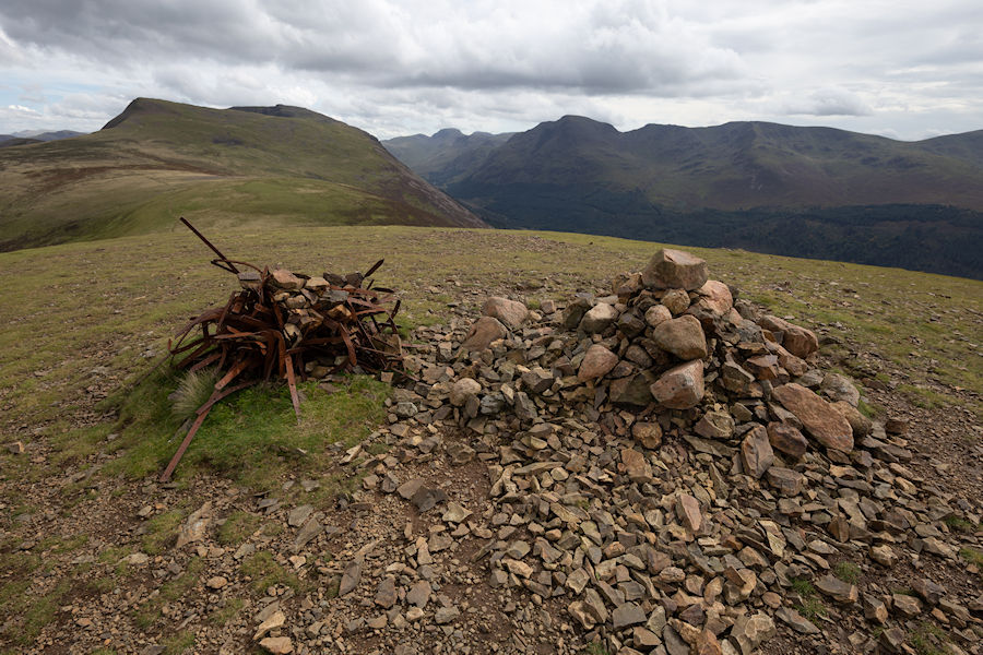
the view back to great borne from strarling dodd. ennerdale water in view too.
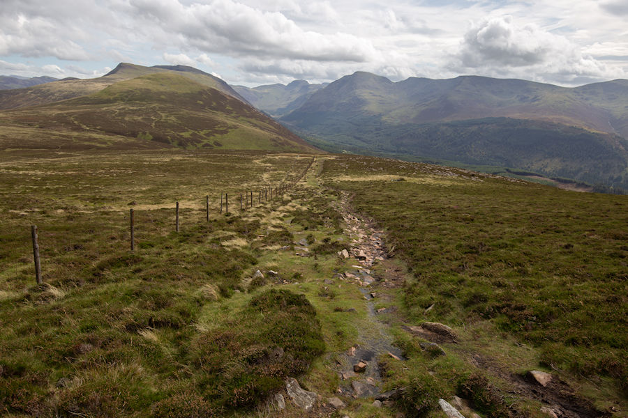
red pike and high stile in front of us, but we will be taking a left before then, and making our descent.
we followed a faint track from little dodd, joined a more substantial path that was heading down from lingcomb edge and following scale beck.
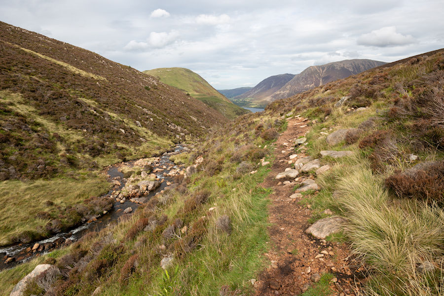
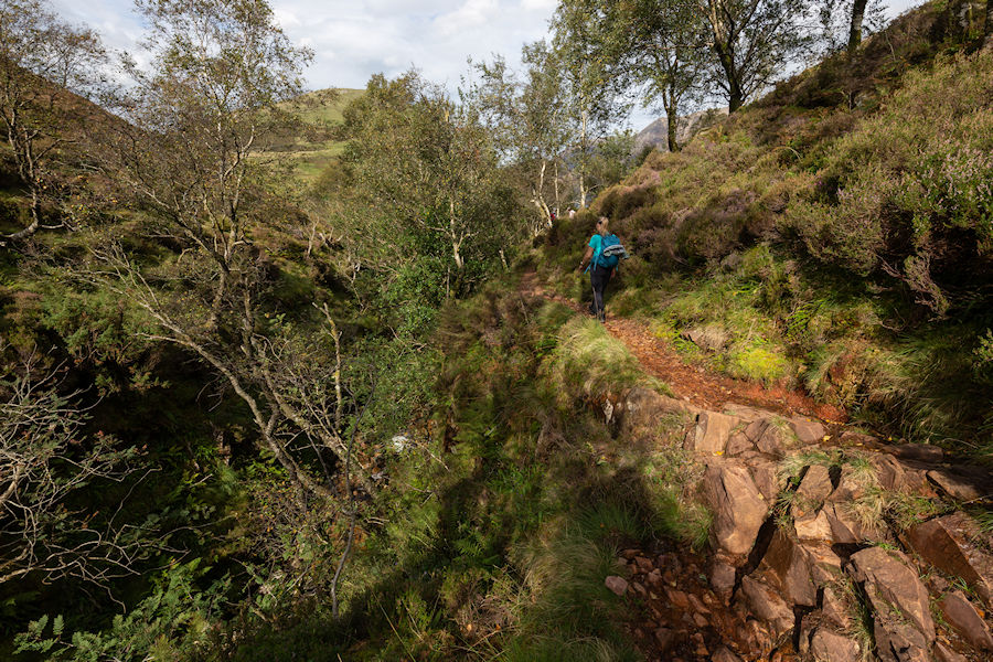
this is a gorgeous spot along scale beck, above scale force. a lot of care required though, due to exposed tree routes, slippery rock and narrow ledges. great fun though, even when tired.
back into the open, open scale force.
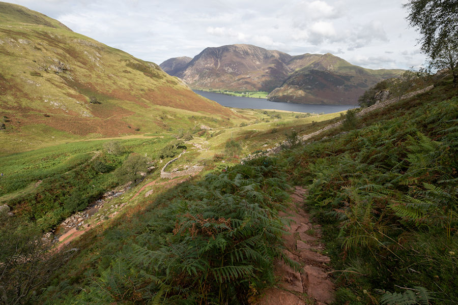
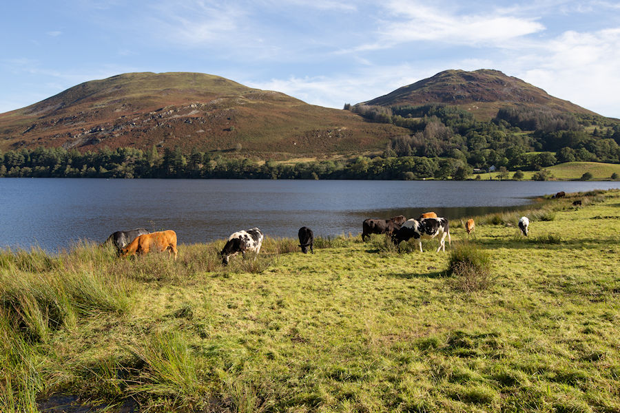
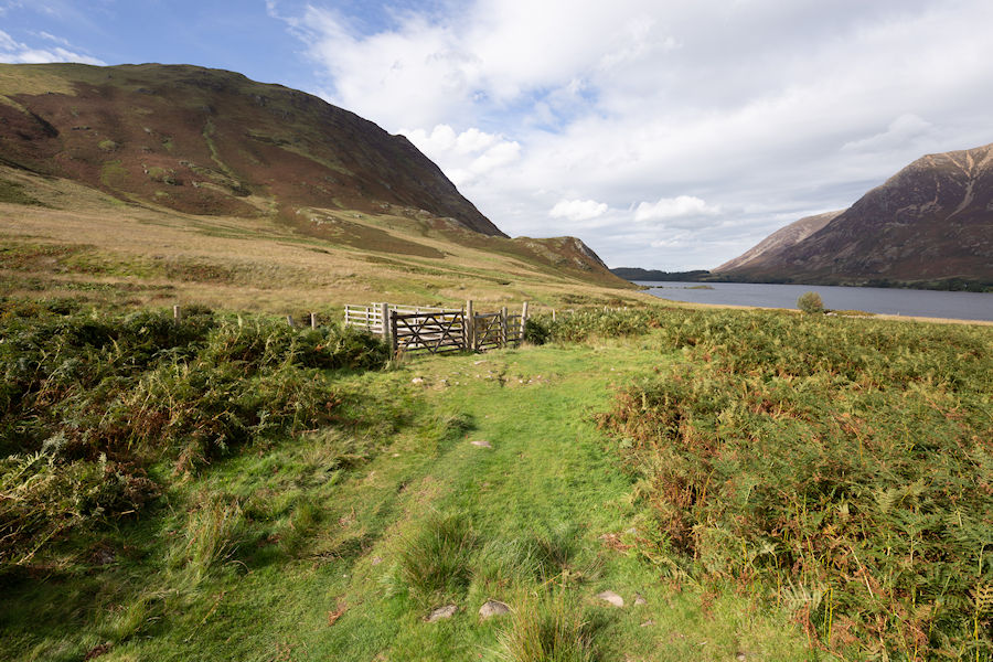
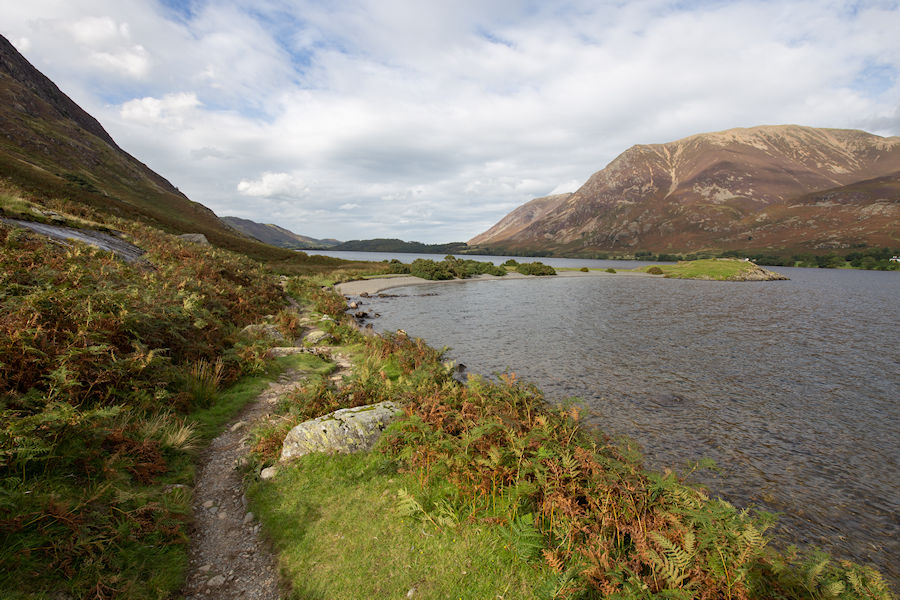
down to crummock water for the final push.
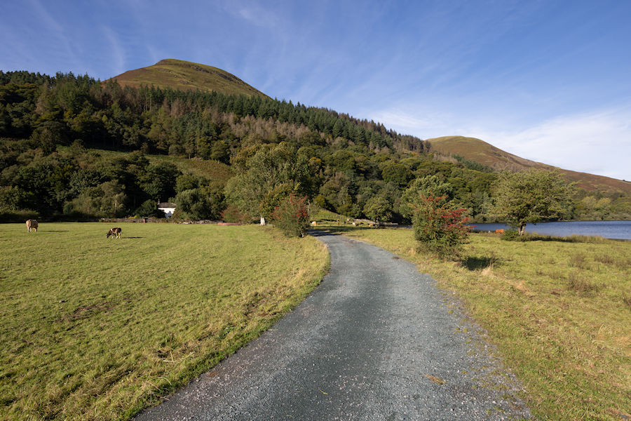
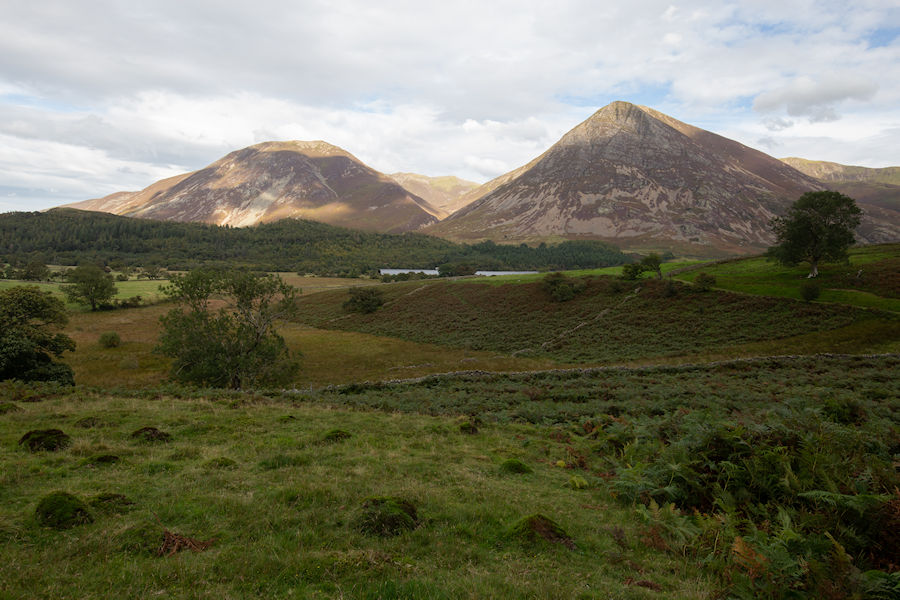
grassmoor and whiteside from the foot of mellbreak.
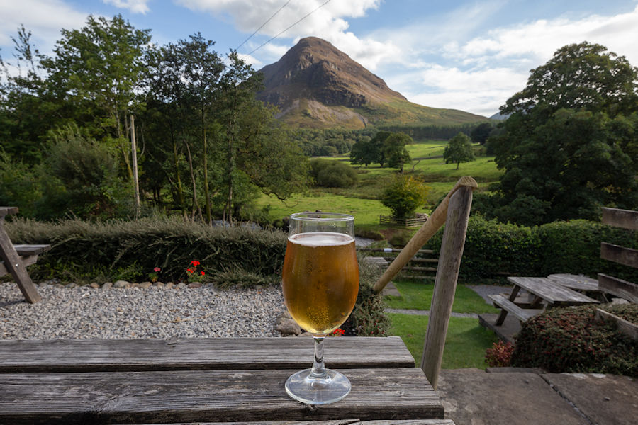
this was one of the longer walks we have done in the lakes. A stop at the kirkstile inn was essential and i'm not ashamed to say, i ordered two of these... immediately!
last look out to mellbreak as we appraoced the car park at maggie's bridge.